Remote Sensing Studies & Drone Surveys
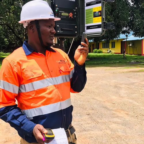
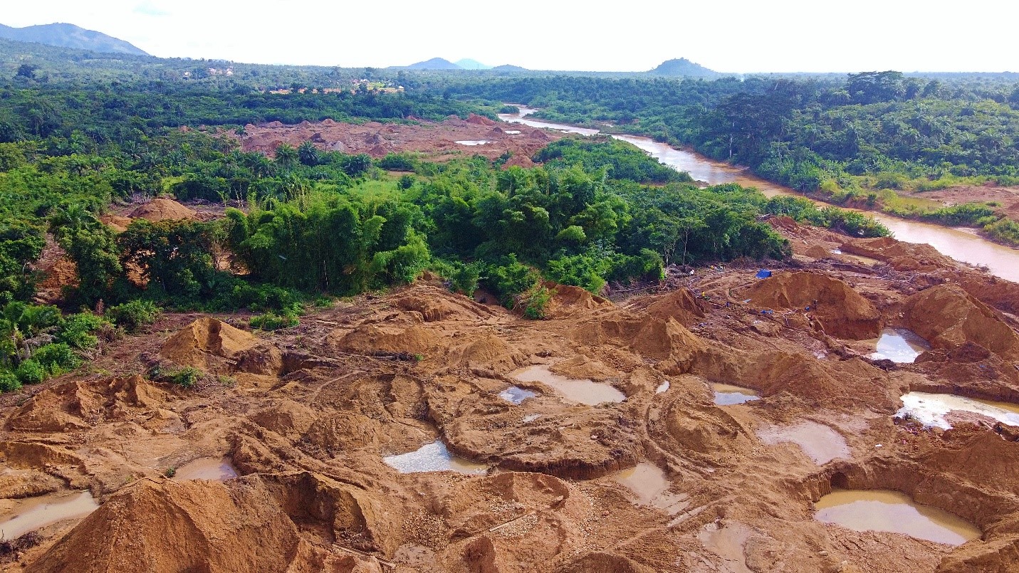
We employ cutting-edge remote sensing and drone technologies to provide high-resolution, up-to-date geospatial data that supports environmental monitoring and planning. Our remote sensing services include land use/land cover mapping, vegetation health analysis, hydrological modeling, and change detection studies. Drone surveys allow us to capture real-time imagery and 3D terrain models for difficult-to-access areas. This technology enhances data accuracy, reduces fieldwork time, and improves the quality of environmental and geospatial assessments.