Geo/Ing. Dauda Morlai Kamara, MEng, BSc (Hons), PhD Candidate
Lead Environmental & Geospatial Consultant | Remote Sensing & GIS Expert | Environmental Engineer & Geologist
Profile Summary
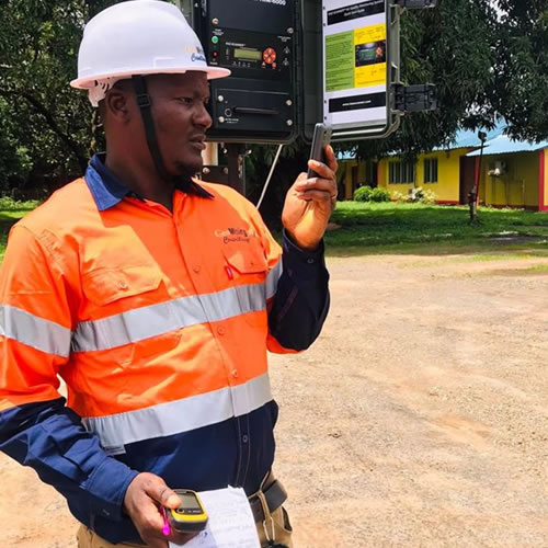
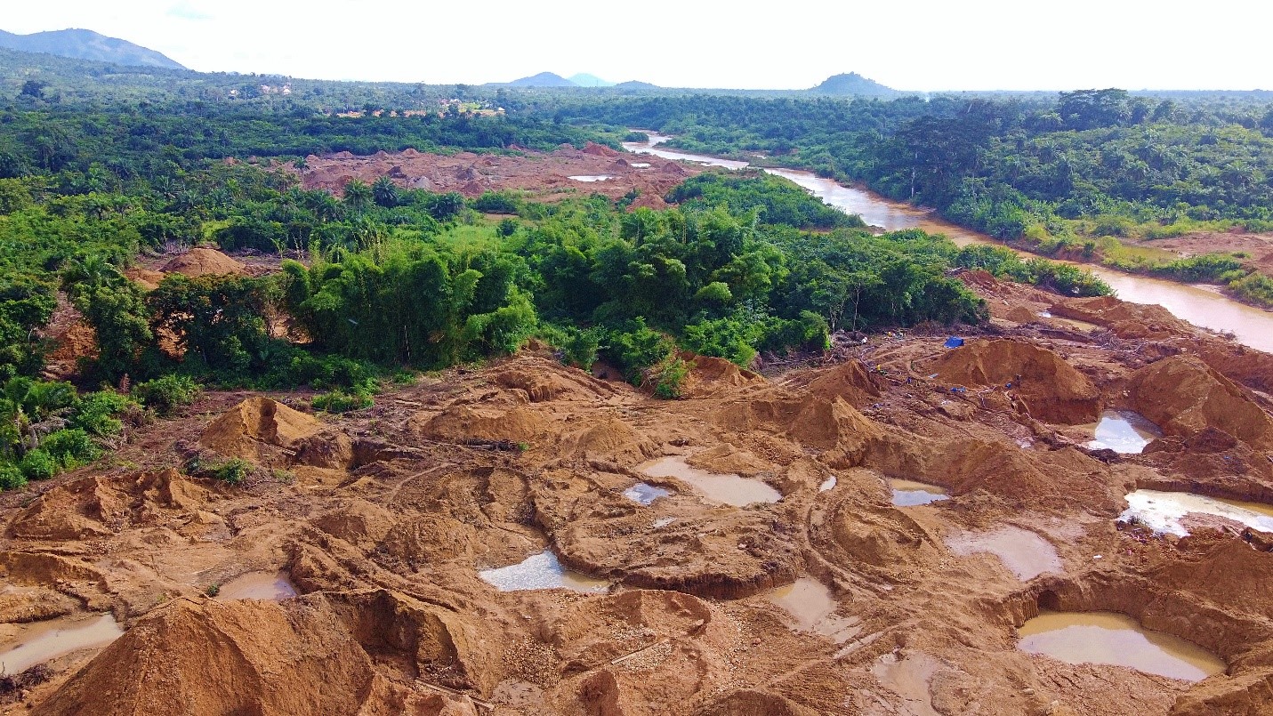
Dauda Morlai Kamara is an accomplished Environmental Engineer and Geologist with over seven years of multidisciplinary experience spanning environmental management, remote sensing, geographic information systems (GIS), environmental impact assessment, and hydrological analysis. He is the Founder and CEO of Environmental and Geospatial Consulting Services (SL) Limited, where he leads technical teams on diverse environmental, mining, and infrastructure projects across Sierra Leone and the West African region.
Currently a PhD candidate in Environmental Management at the Pan African University Life and Earth Sciences Institute (PAULESI), Mr. Kamara specializes in spatial modeling, environmental monitoring, and blue carbon ecosystem analysis. He holds a Master’s degree in Environmental Engineering from Suzhou University of Science and Technology, China, and a BSc in Geology from Fourah Bay College, University of Sierra Leone.
His expertise lies in applying advanced GIS and remote sensing technologies for sustainable development, environmental protection, and policy support. Mr. Kamara has consulted for over 50 national and international mining companies as well as the World Bank, contributing to major environmental and social impact assessments (ESIAs), infrastructure audits, mining ESHIA projects, and hydrological mapping.
A certified member of both the Sierra Leone Institution of Engineers (SLIE) and the Sierra Leone Institution of Geoscientists (SLIG), he is also an academic with research interests in climate resilience, ecological monitoring, and geospatial modeling. He has authored several peer-reviewed publications and frequently supports academic institutions with training in GIS and environmental courses.
Core Competencies
- Environmental Impact Assessment (EIA & ESIA)
- Remote Sensing and GIS (ArcGIS Pro, ArcGIS, ENVI)
- Data Analysis (OriginLab, SPSS etc)
- Surface and Groundwater Mapping
- Blue Carbon Ecosystems & Climate Adaptation
- Land Use & Land Cover (LULC) Analysis
- Project Management & Environmental Auditing
- Stakeholder Engagement and Public Disclosure
- Scientific Research and Technical Reporting